

The Pan-STARRS project, together with astronomers from the Max Planck Institute for Astronomy in Heidelberg and the Extraterrestrial Physics institute in Garching, published the world's largest study that maps the sky digitally.
The digitization is based on 4 years of observations of three quarters of the night sky and provides extensive information on more than 3 billion stars, galaxies, and other sources.
The database includes millions of images with precise measurements of billions of stars and galaxies.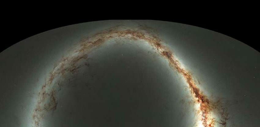
In May 2010, the first Panoramic Survey Telescope & Rapid Response System or Pan‑STARRS observatory, a 1.8‑meter telescope at the summit of Haleakala on Maui, began creating a digital map of the sky.
This was the first study in which scientists aimed to be able to observe the night in the visible and ultraviolet spectrum very quickly again and again, to search for moving objects and transient or variable objects, including asteroids that could potentially threaten Earth.
The images are extremely detailed, as the digital camera of PS1 has the highest resolution of any ground-based telescope, (1.4 Gigapixel).
This means that each image consists of 1.4 billion pixels.
The database has a volume of 2 petabytes. If you don't understand the number, it is 2,000 terabytes.
https://pswww.ifa.hawaii.edu/pswww/
Watch the video
