

Google Street View now lets you visit an Arctic park in Canada called Quttinirpaaq on Ellesmere Island.
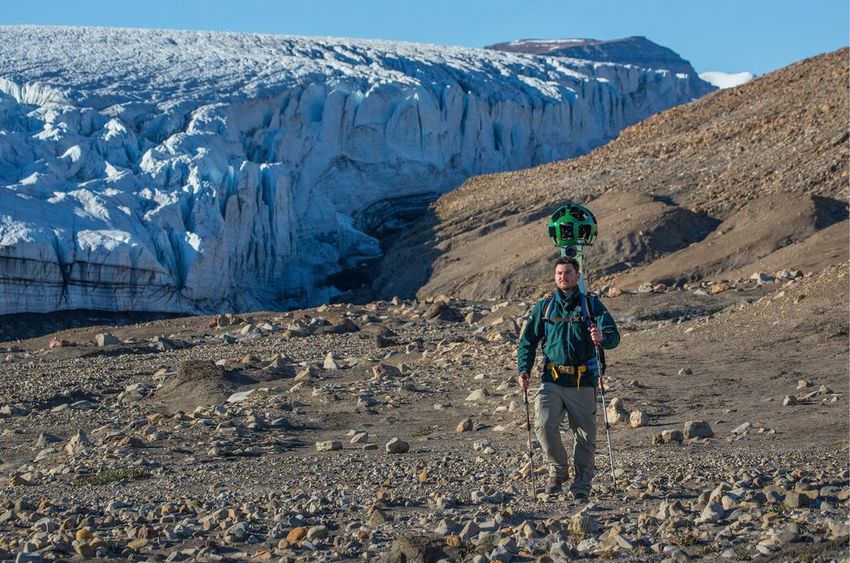
This is a virtual walk through Canada's most remote and northernmost park, located less than 800 kilometers from the North Pole.
Quttinirpaaq National Park is located on Ellesmere Island. Fewer than 50 people visit the park each year due to its considerable distance from the rest of the country. There are three areas from which visitors can begin their journey, and after obtaining the appropriate permits. The park service warns them about the dangers of crossing points, avalanches, and local wildlife, such as polar bears. Hiking in the park can take from 9 to 12 days on each visit.

Google sent its Street View into the park to traverse some of the hiking trails, capturing some stunning imagery. While it can't map the entire park (which is around 38,000 square kilometers), the team managed to get a good representation of the various environments, from glaciers to rocky mountains to sparkling lakes.
Navigating the area via Google Street View is quite different from what you're used to, as there are no paths, so you can move in all directions and follow the arrows. Just click on some rocks and you'll simply go there. And since it seems like a place you'd be unlikely to actually visit, Google's virtual tour is a good solution.
