As we see day by day, technology and the internet have made everything possible. Free access to detailed satellite images of the entire planet is something that sounded like science fiction just a decade ago.
Google Mapsconfirms once again that technology is everywhere.
For example, satellite imagery has made it possible for organizations to look for tax evaders, with luxury homes while declaring low income.
But most of the time, these images are used to search for marijuana growing areas, especially in the deserts of the US. These areas are hidden in remote places and surrounded by dense forests, making them very difficult to locate.
However, they are very easy to spot from above and it is no surprise that the police use satellite imagery to find them.
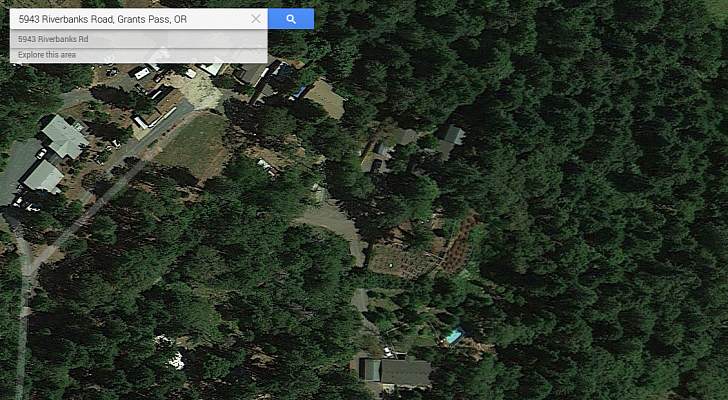
In one of the most recent cases, local police in Oregon, where medical marijuana is legal, found Curtis W. Croft boasting about his exploits in the area. Police used Google Earth to search for the location of Croft's home and found a large area of cultivation, according to the Google Earth Blog.
It didn't take long for police to then receive aerial confirmation that the field was still there and then arrest Croft, who had a cultivation permit for much smaller quantities.