Most of us are used to the amazing images of the world found on Google Street View, but a new website promises the same kind of virtual tourism from an aerial perspective via drones.
It started in April from Switzerland with Jan Hiersemenzel and TravelByDrone, which is a site that leverages the power of YouTube and Google Maps to allow you to explore the planet through footage captured by drone.
An interactive Google Map of the world features “pins” and shapes where footage is available. Clicking on one of the pins takes you instantly to YouTube videos of the geographic area captured by a flying drone. You can search for specific cities and even select videos based on timeliness, as the map features orange pins that show footage from the past few months.
Anyone with a drone video can add it to the map, simply by clicking the “Add video” link, where the website then checks the video for accuracy and quality.
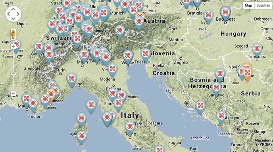
It is noteworthy that some areas have no coverage, including North Africa, most of Russia, the northern part of South America and, of course, North Korea.
However, despite some gaps in global coverage from drones, this could be the best geographic composition with drone video ever made available on the internet.